
The Problem
Information relevant to a given area — events, traffic, safety, local activities — is scattered across many different sources, or doesn’t circulate at all beyond closed groups.
Target Audience
People who want to quickly find out or share what’s happening in their area — events, alerts, local recommendations — organized visually, on a map, rather than in an unsorted text feed.
How It Works
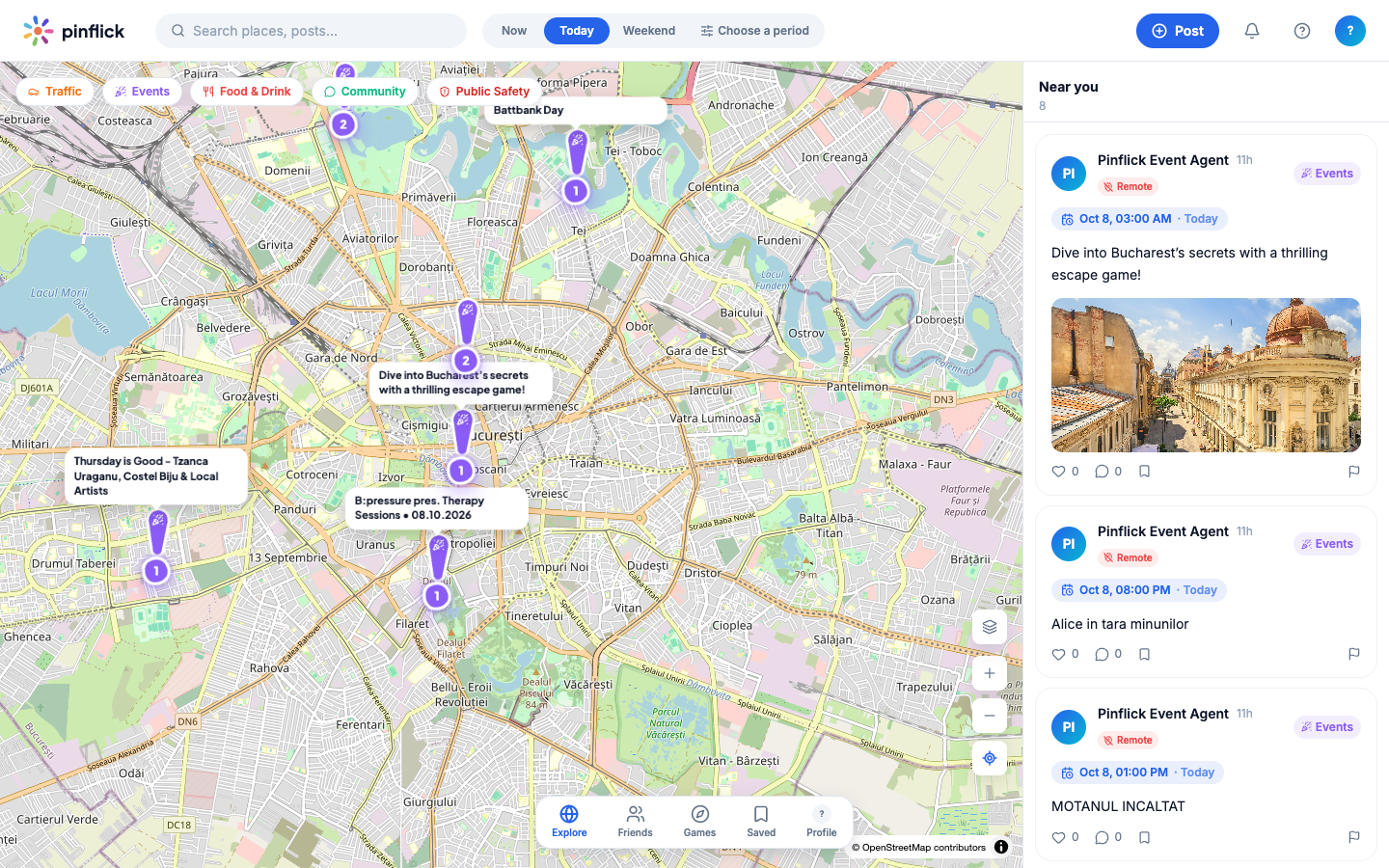
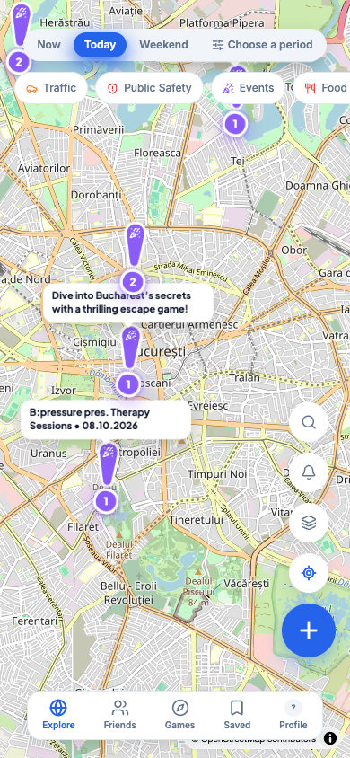
Pinflick displays posts on an interactive map, filterable by category (traffic, events, community, food and drink, public safety, weather, lost and found, infrastructure, general) and by time range (now, today, weekend, or a chosen period). Search for places and posts and the “Near you” feed — the list of nearby posts — complement the map. Users can publish geographically anchored posts directly, and every post can be liked, commented on, saved to favorites, or reported. The screenshot above shows the actual map, with public events displayed live.
Core Modules
- interactive map with post clustering by area;
- search for places and posts;
- filtering by category (Traffic, Public Safety, Events, Food & Drink, Community, Weather, Lost & Found, Infrastructure, General);
- filtering by time range (Now, Today, Weekend, Choose a period);
- “Near you” feed with nearby posts;
- publishing new, geographically anchored posts (“Post”);
- interactions on posts: likes, comments, saving to favorites, reporting;
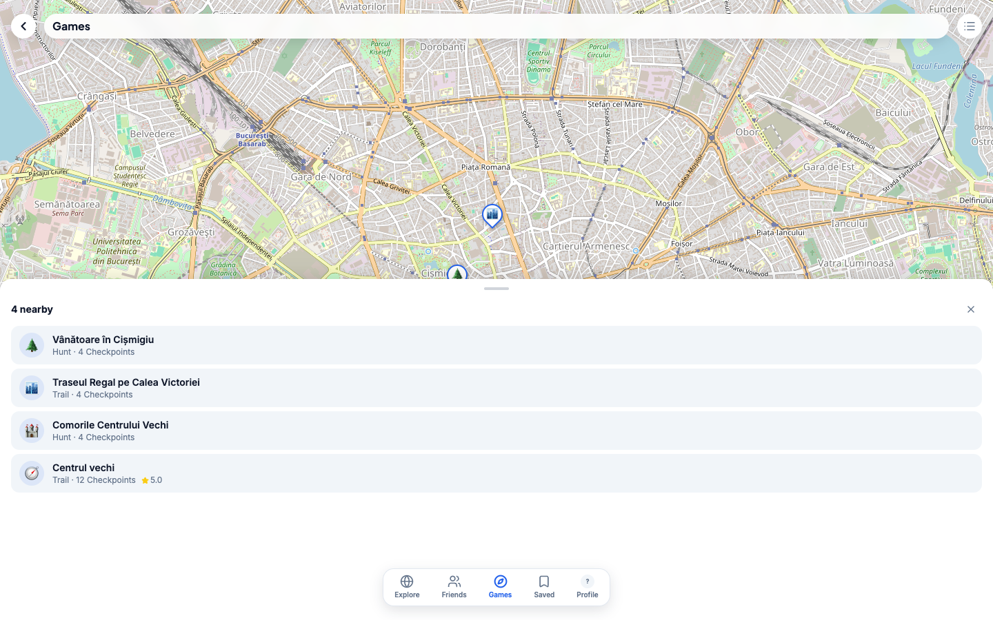
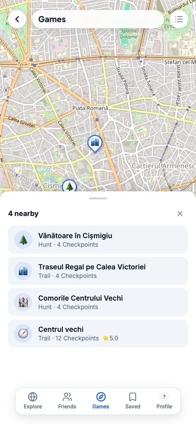
- Games — location-based games of the “Hunt” and “Trail” kind, with checkpoints on the map;
- Friends — with an account, you add friends, see what they’re up to nearby, and get notified when they post;
- Saved — the posts you saved to favorites;
- alert zones (the bell button in the interface).
The Product Challenge
A platform built on community contribution needs a critical mass of active users in an area to be useful — the main challenge is local adoption, not technical. The category- and map-based structure (rather than a simple chronological feed) is the answer to this challenge: the information stays useful even with a moderate volume of posts.
General Architecture
Web application with an interactive map (based on OpenStreetMap, per the attribution visible in the interface), with geolocated posts and real-time category/time filtering.
Security and Operations
Posts are public by design (the nature of the platform), and every post has a report action. Content moderation for sensitive categories (public safety) is not publicly detailed — we do not present unconfirmed moderation mechanisms.
Integrations
OpenStreetMap for the base map.
Existing vs. In-Development Features
Confirmed directly on pinflick.com, in the public interface: the interactive map, search, category and time filtering, the “Near you” feed, post publishing, interactions on posts, alert zones, and the Friends, Games, and Saved sections. There is no confirmed public roadmap for future features.
Leadpro’s Involvement
Pinflick is developed and operated by Leadpro — a platform built to validate a geospatial, community-driven product model at a local scale.
Status
Publicly available — the platform is live and public at pinflick.com.
Capturi de ecran
Frequently asked questions
What kind of information appears on Pinflick?
Location-based posts — events, traffic, public safety, community, food and drink, weather, lost and found, infrastructure — organized on an interactive map, filterable by category and time range.
Who can post on Pinflick?
Anyone — the platform is built around local community contributions, not just official accounts.